 |
|
|
Follow Mark on Facebook for more stories |
||
 |
|||||
|
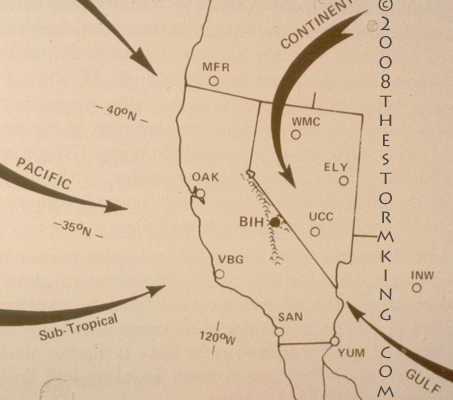
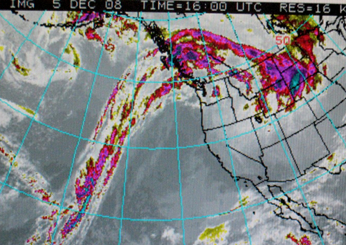
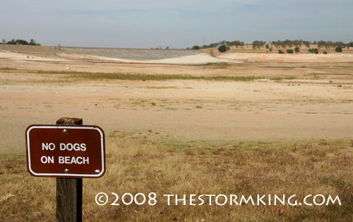
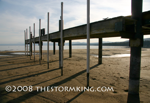
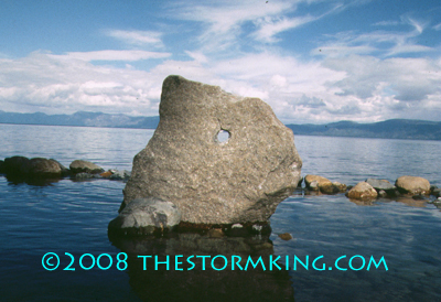
Tahoe Nugget #157: Winter Slow out of the Gate Thanksgiving has come and gone and winter sports enthusiasts in the Truckee-Tahoe region are still waiting for the first major snowstorm of the season. Unfortunately, at this time the short-term forecast indicates no significant pattern changes that would open the Pacific storm door enough to unleash the kind of heavy snowfall skiers, boarders and hydrologists are desperately waiting for. Last year we had to wait until December 6 for the first decent storm, which dumped about two feet over 48 hours and got the slow starting 2008 ski season underway. The year before that was also late out of the gate and only extensive snowmaking made decent skiing possible before Christmas. Both of those winters ended up drier than average. The heavy rain event in early November bumped up Lake Tahoe's water level a smidge, but the lake has been on a slide ever since and is now just about at its natural rim. It's likely that within a week or so, no more water will spill into the Truckee River from Lake Tahoe until winter storms pump up the watershed. To recharge low reservoir levels some local water officials are hoping for record winter precipitation this winter, which is the equivalent of the Hail Mary pass in football. You can call the play, but a successful outcome is against the law of averages and it usually doesn't work. Federal Water Master Garry Stone, whose office manages flows in the Truckee River, recently said that the Tahoe region "needs a winter with three or four times the average snowpack to bring the lake above the natural rim and to an acceptable level." That's a tall order. The problem is that winters in the upper tier of precipitation values often bring destructive floods or seemingly endless heavy snowstorms that wreak havoc with transportation and the ability for tourists to access the ski resorts. In my opinion, it's better to spread out the water gain over two healthy seasons rather than one big monster winter. Of course, the discussion is strictly a rhetorical one since no one has any control over what eventually will happen. It's been bone dry ever since the dousing five weeks ago, with a persistent dome of high pressure shunting Pacific storms to the north. Some computer models are starting to hint at a pattern change after mid-December that may bring storms into California, but it's too early to start celebrating. Long-range winter forecasts are particularly fickle and usually hard to predict with confidence, especially if the various components of the extended forecast are in poor agreement as they are right now. Kelly Redmond, deputy director and climatologist at the Western Regional Climate Center in Reno said, "It's a make or break winter. We've been able to live off the buffer provided by the reservoir system. But some of the reservoirs are getting pretty low." Lake and reservoir levels aren't the only things getting low. So are the patience and bank accounts of Tahoe ski resort managers and the hundreds of new seasonal employees who flock to the region every winter. Until the ski runs open up and the chairlifts start turning, most of these workers will have to rely on whatever cash they brought with them. It's definitely time to organize some Pray for Snow parties. Tahoe Nuggets are now archived at www.thestormking.com Photo #1: Pacific moisture produces the bulk of California's moisture during the winter rainy season. December, January and February are the wettest months.
|
|||||
|

